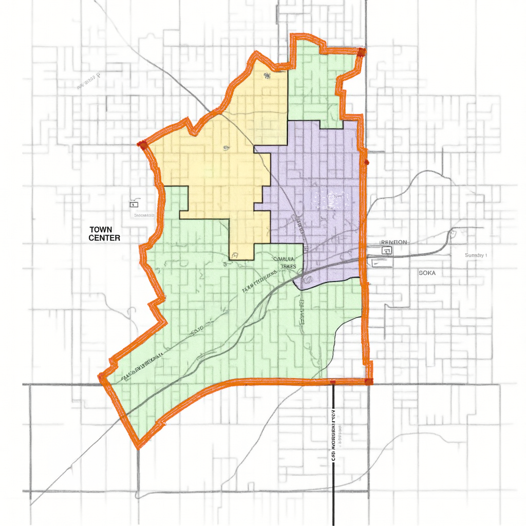
High-Resolution Mapping: Our maps capture every detail, from subtle elevation changes to intricate land features, ensuring a comprehensive view of the terrain.
Advanced Technology: Using state-of-the-art GIS tools, drone surveying, and LiDAR technology, we deliver unparalleled accuracy and efficiency in mapping services.
Custom Solutions: We adapt our services to your specific project requirements, offering overlays for utilities, vegetation, water bodies, and more.
Expert Team: Our team of skilled cartographers, surveyors, and GIS specialists brings years of experience and expertise to every project.
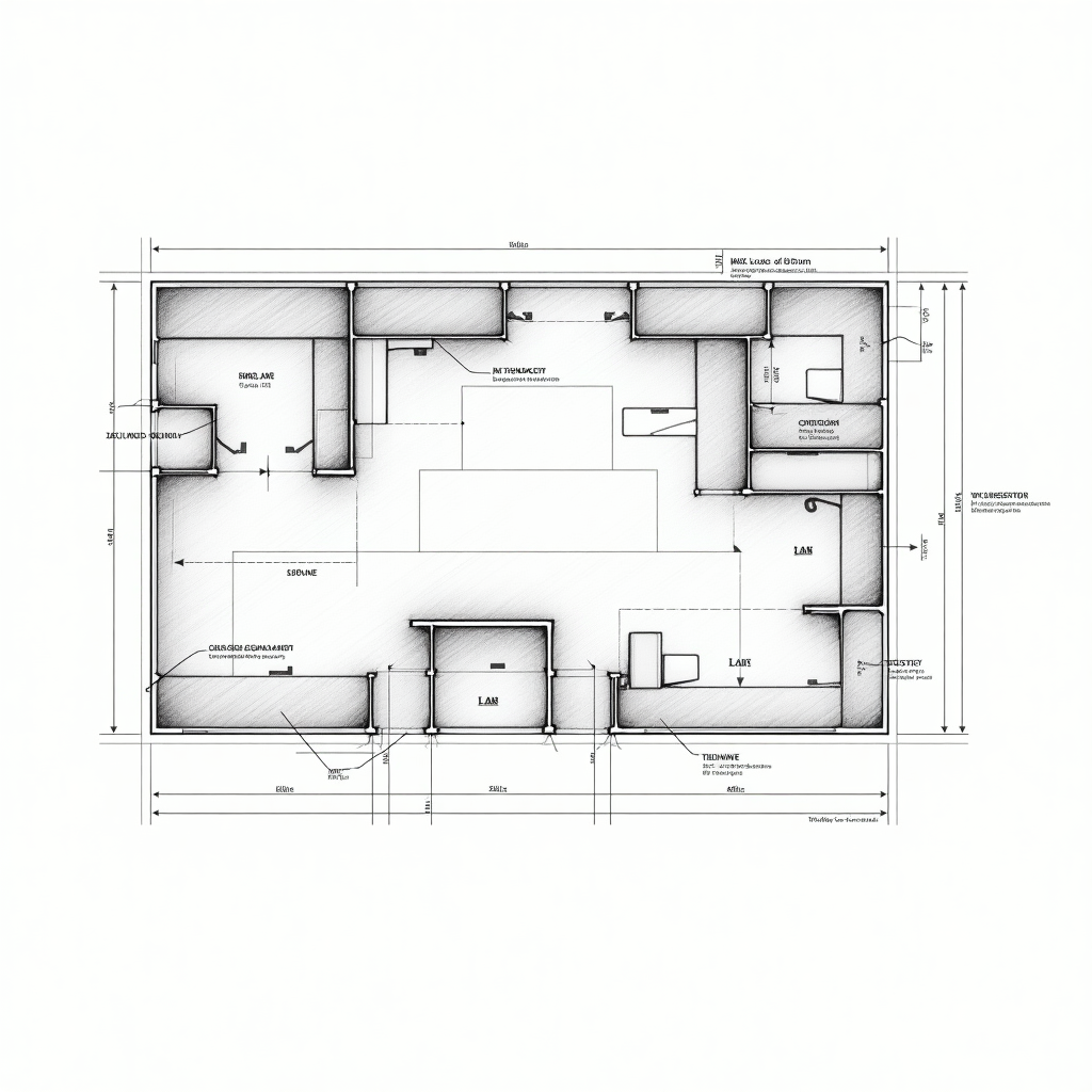
Expert Precision Drafting
2D & 3D Drafting: From detailed technical drawings to immersive 3D renderings, we deliver exceptional visuals for your designs.
Construction Documents: Clear, accurate, and code-compliant drawings to support every stage of your construction process.
As-Built Drawings: Comprehensive documentation of existing structures for renovations, maintenance, or updates.
Custom Designs: Tailored drafting solutions for unique projects, ensuring your specific requirements are met with precision.
CAD Conversion: Transform hand-drawn sketches or outdated blueprints into modern, editable CAD files.
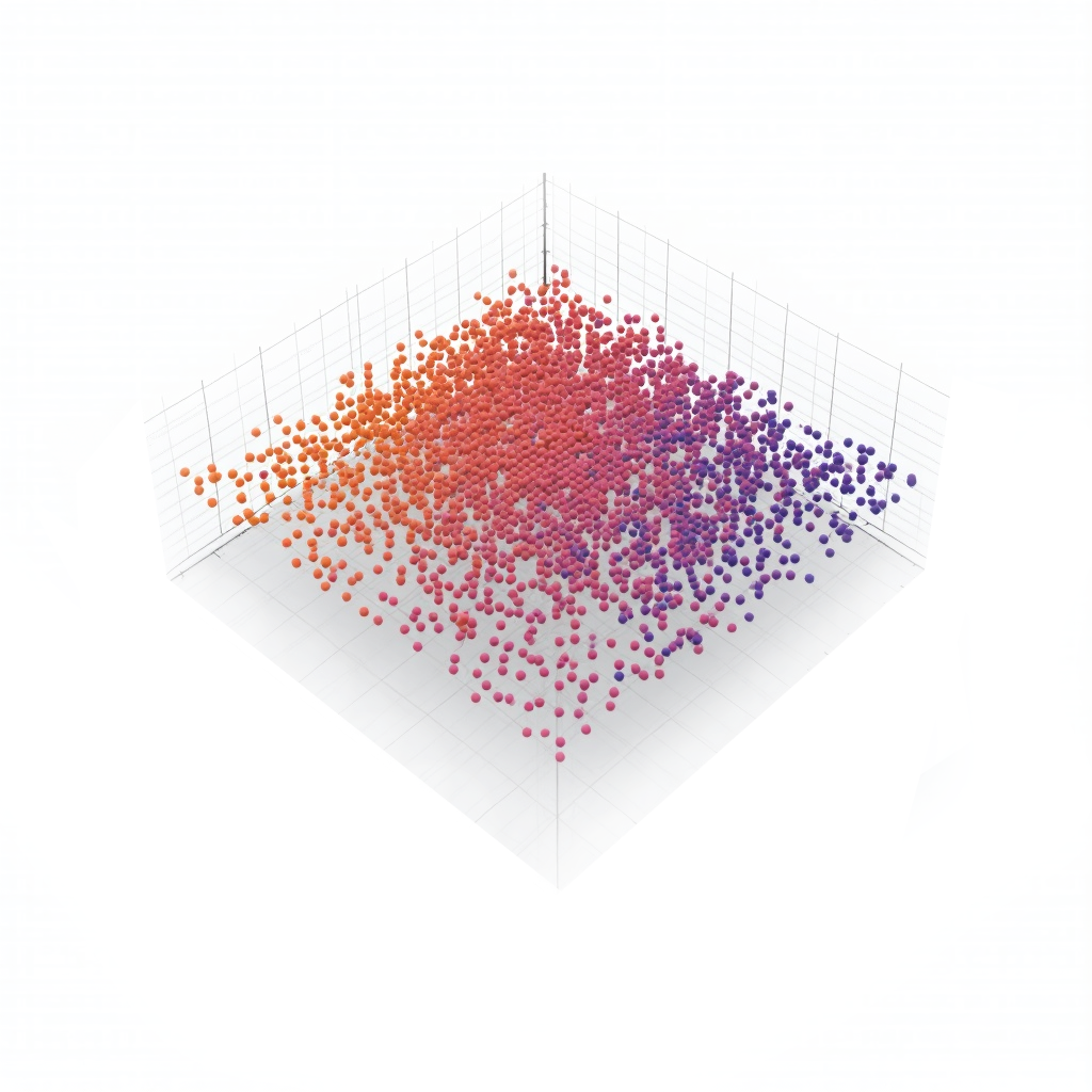
Spatial Data with Point Cloud Technology
3D Point Cloud Creation: Generate high-resolution, geo-referenced 3D point clouds that capture every detail of your project site with pinpoint accuracy.
Terrain Modeling: Convert point cloud data into precise terrain models for topographical analysis and planning.
As-Built Point Clouds: Document existing structures or environments in 3D, offering a reliable foundation for renovations, updates, or future planning.
Data Integration: Seamlessly integrate point cloud data into CAD, BIM, or GIS platforms for enhanced analysis and project workflows.
Custom Visualization: Tailored 3D visualizations of point cloud data, making complex data accessible and actionable.